
Another Colorado summit gained! This one was, appropriately enough, Mount Arkansas, a 13,800' summit that sits near the headwaters of the Arkansas River.
My dad and I left Arkansas for Colorado at four in the morning on Thursday, July 30. We made it to Leadville in time to catch a heck of a sunset and a couple of beers at the Silver Dollar Saloon.
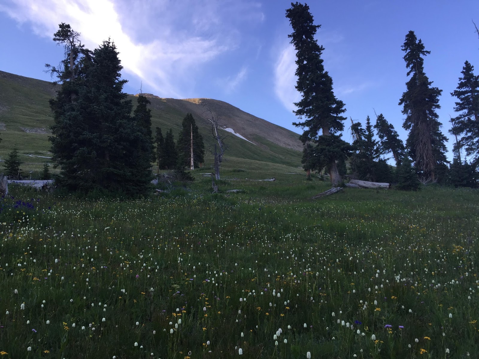
Friday morning, we were heading up toward the Climax Mine area, and we parked at the Mount Arkansas trailhead by 6:00.
No need to get TOO much of an early start, we thought, as Arkansas was (theoretically) going to be a warmup hike for La Plata and Blanca. After all, I’d read it was only about 2 or 3 miles one way. Nothing too bad.
It didn’t exactly turn out that way, but I’m not complaining. Arkansas is a very fun mountain.
We followed an old railroad bed for approximately a quarter of a mile, the distance recommended by 13ers.com, and then cut up into the trees and started south into a forest. I think we wandered a bit too long in the trees— instead of making a straight line toward the saddle, we attempted to follow a few trail segments, and I suspect we made things more difficult than they had to be. Note to those who might do this mountain: Just head south. I DO recommend avoiding the marshy willow thickets. Otherwise, just go south, and to heck with trying to follow trail segments.
Either way, we made it above the trees and found ourselves just below the saddle in a very, very beautiful area.
After a moment or two of debating whether or not to head up to the saddle or cut up the grassy slope immediately to our left, we decided to do the latter. The ridge looked pretty friendly, after all.
The slope was a bit steeper than it looked, but the rocks made solid footholds, and it didn’t take too long to gain the ridge.

From here on out, the ascent up Arkansas was a fairly straightforward ridge walk/climb, in which you ascend up one pile of rocks and boulders after another. No trail, not really, but there’s no way in the world to get lost.

At the ridge intersection (where you’ll find a pole jutting up out of the rock) just make sure you cut to the right toward Arkansas.

It’s not far down this final stretch of ridge that you’ll finally get a view of the actual summit, just beyond the crux towers.

A few notes on this final stretch of ridge: several sections of it are pretty darned narrow— nothing dangerous if the weather is decent and you’re aware of what you’re doing, but narrow nonetheless. Also, where we cut down off the ridge to circumvent the crux towers, for a few feet, there was significant exposure on both sides of us, and using both hands was an absolute must. Perhaps we waited too late to descend off the ridge. I suspect so. Just note, the class 2 on this ridge seemed a bit more demanding of your attention than, say, the tops of Massive or Harvard, and in a place or two was approaching class 3.
Anyway, so yes, Mount Arkansas was more involving than I’d expected, and my dad pointed out to me a few times that he’d expected something a bit easier…. But I will say this: Mount Arkansas is a lot of fun and very beautiful. Woo Pig!

No comments:
Post a Comment